Sabtu, 21 Mei 2011
12 Outer Islands Threatened Drowning
Do you like this story?
Border Area
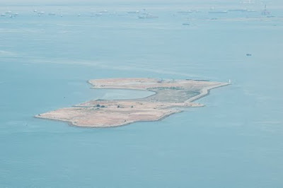
Dana Island
As many as 92 of the 120 outer islands of Indonesia have been registered in the United Nations so as not to bias claimed by Neighboring Countries, such as Malaysia, Singapore, Philippines, Australia, Vietnam and Thailand. However, rising sea levels as global warming raises the threat of loss of territory boundary basis points if there are outer islands are sinking.
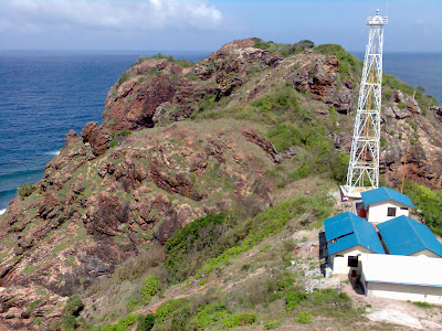
Rondo Island
"Of the 92 outermost islands, there are 12 islands of the most critical," said Assistant Deputy Potential Sea Border Regions of the National Border Management Agency, Sunarto, Thursday (19 / 5) in Jakarta.
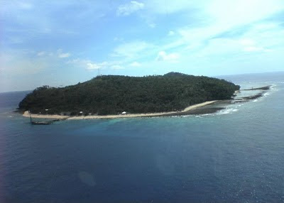
Berhala Island
The most critical outer islands are Rondo Island at the northwestern tip of Aceh Province, Berhala Island in the waters of eastern North Sumatra, and Nipah island bordering Singapore.
Nipah island
In addition, Sekatung Island in the South China Sea north of the Riau Archipelago; Marore Island, Mianggas Island , and Marampit Island in the north province of North Sulawesi, Fani Island; Fanildo Island; Bras Island in northwest of the Bird's Head of Papua Province bordering the island state of Palau .
Sekatung Island
Similarly Batek Island in the Strait of Ombai that lies between the northern coast of East Nusa Tenggara and Oecussi, East Timor; Dana Island in the southern part of East Nusa Tenggara island adjacent to Ashmore Reef, Australia.
Marore Island
According Sunarto, in 2011 budgeted production of sea dikes for the two outer islands, namely Mianggas and Marore Island. To anticipate the impact damage to the sinking of the outer islands, this time prepared the Master Plan and Management of Border Regions in the period 2012-2014. "Part of the budget for the construction of sea dike, but not all the outer islands of the most critical need of the sea dike," said Sunarto.
Mianggas Island
Separately, Director of Coastal and Ocean at the Ministry of Maritime Affairs and Fisheries, Subandono Diposaptono said, based on his research, in the estimate of sea level rise in Indonesian waters reached 5 to 10 millimeters per year. "outer islands are mostly small islands are vulnerable to various problems," said Subandono.
Marampit Island
The condition of small islands vulnerable to drowning due to felling of mangroves, excavation of sand, coral, and development that juts into the sea. Now the islands faced with global warming causing rising sea levels and extreme weather causing high waves.
Fani Island
Survey toponymy
The survey results National Team standardization of topographical names related to the names of the islands in the year 2007 - 2010, the number of islands in Indonesia just 13,466 islands, rather than 17.508 island like so far.
Fanildo Island
The survey results topographical names, according to Chief Coordinating Agency for Surveys and Mapping Agency, Asep Karsidi, has been filed in the siding United Nations Group of Experts on Geographical Names (UNGEGN) in Vienna, Austria, beginning last May.
Bras Island
"For three years the survey, generated 230 basis points more in 120 outer islands," said Sobar, Special Staff Chief Bakosurtanal. Nevertheless, only 92 outermost islands are mapped.
Batek Island

This post was written by: Franklin Manuel
Franklin Manuel is a professional blogger, web designer and front end web developer. Follow him on Twitter
Langganan:
Posting Komentar (Atom)


0 Responses to “12 Outer Islands Threatened Drowning”
Posting Komentar